A-747
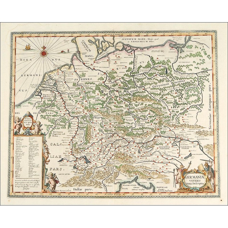
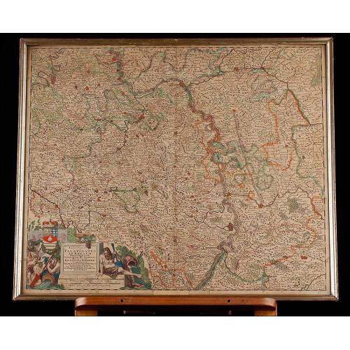
Magnificent Antique Map of Central Germany, 1657, Engraved by Jan Jansson.
Fantastic map of Central Germany, original from 1657 and made by Jan Jansson. Good condition.
Sold!
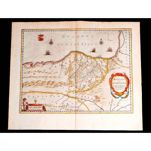
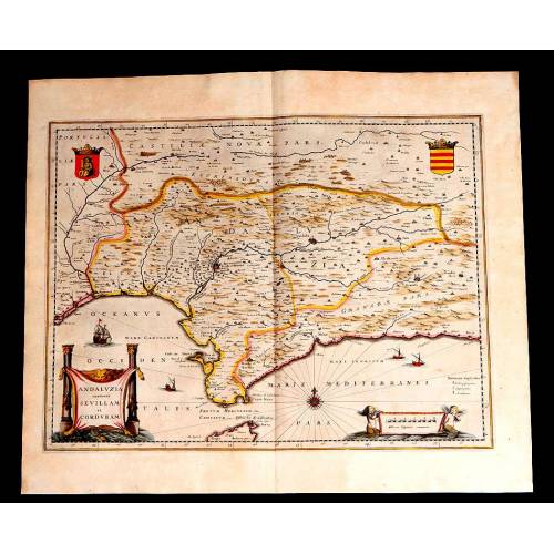
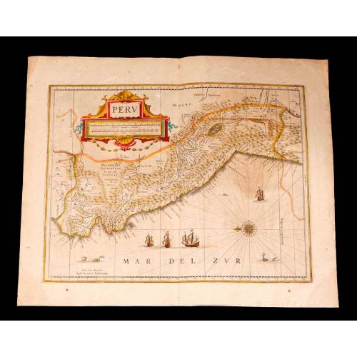
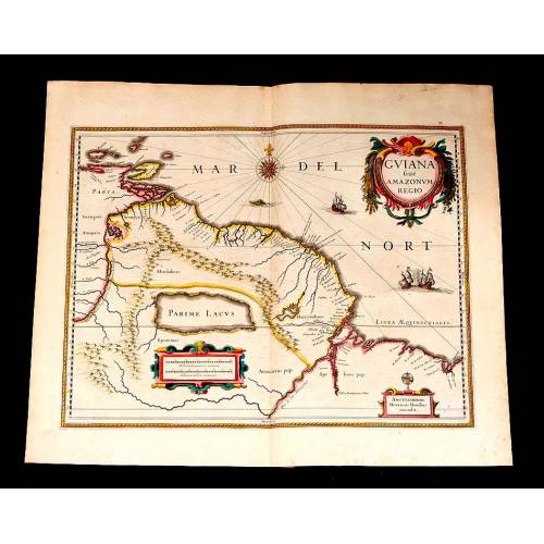
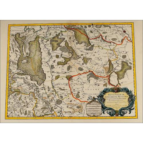
This impressive Antique map is an original work from the 17th century performed by Jan Jansson in 1657. The map is in good condition and preserves the original color, being a highly decorative piece with a great historic relevance. The map was published in volume six, the Orbis Antiquus, of Janssons Novus Atlas. The engraving depicts a reproduction of Centrla Germany as the territory was conceived in the 17th century. The image is framed by nice decorative fringes and also shows two cartouches with information, one on each side. The maps title is Germania Veteris Nova Descriptio. In order to perform this map, Jan Jansson took inspiration in a map of the same title etched by A. Ortelius for his book Parergon (1507). Both works are based in Greek and Roman sources such as Julius Caesar, Virgil, Pliny and others. In those times, maps and atlas were luxury and exclusive articles that only the noble people and the kings could afford. They were often kept as a secret, as their strategic relevance was decisive. This turns these antique maps in real jewels that also boast a spectacular beauty and precision. Framing the map we can see narrow fringes accompanied by reference scales. At the bottom corners there are two cartouches that embellish the map and provide fundamental data. Over the left cartouche we can see two cherubs holding a nice oval medal with a Latin inscription; to the right, another cartouche with the maps title is held by two ancient naked warriors that cover their heads with animal skins. On the top left corner we can see the compass rose and the ocean, adorned with a whale and a caravel. The nicest decorative beauty and a great historic relevance come together in this striking map from the 17th century, a collectors item bound to be part of an elegant study or living room. Measurements: Paper: Width: 23.8 in/60.5 cm. Height: 14.7 in/49 cm. Engraving: Width: 18.5 in/47.2 cm. Height: 14.7 in/37.5 cm.
