A-753
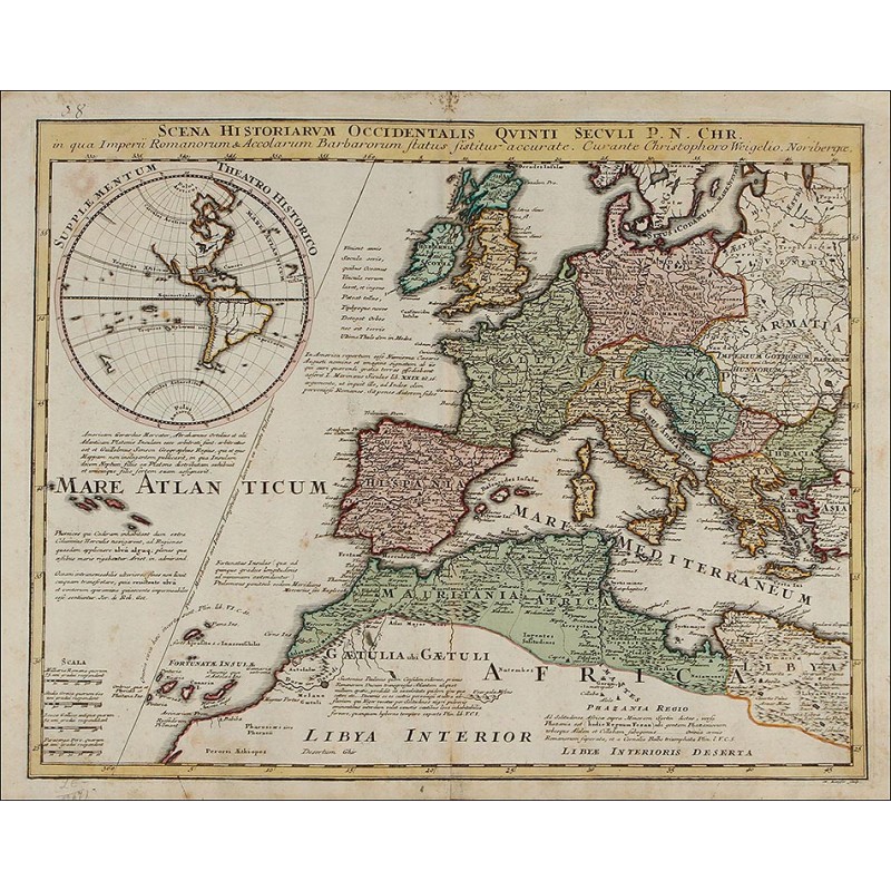
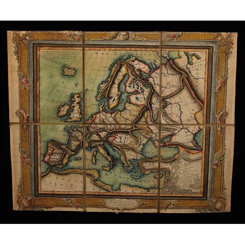
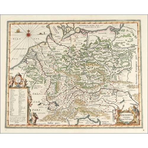
Antique Map of 1720 by C. Weigel showing the Historical Situation in the 5th Century. Germany
Beautiful map of 1720 engraved by Cristoph Weigel The Elder. Historical situation in the 5th century.
Sold!
This extremely beautiful map, original from the 18th century, is a masterwork by Johann Cristoph Weigel the Elder. It is an etching from 1720 that shows the European countries and part of the North of Abrica, together with a drawing of a great part of America. At the top of the map we can see an inscription that describes the image: SCENA HISTORIARIUM OCCIDENTALIS QUINTI SECULI P.N. CHR., meaning Scene of the Occidental History in the 5th Century a.D. The map preserves the original coloration and is in great condition. The etchers name is also printed at the top of the map: Curante Cristophoro Wegelio. Noriberge (Nuremberg). C. Weigel was a famous etcher, art dealer and publisher born in 1654 and dead in 1725. This great map testifies for his etchings quality and is a real masterwork of antique cartography. Most of the etching is occupied by a big map of Europe and the North of Africa, depicting many current countries and other that disappeared long ago. The names of the seas and oceans are also printed on the paper, together with detailed inscriptions in a tiny cursive calligraphy. The map is framed by a golden-ochre fringe with scales and the title at the top. On the left hand side of the etching we can see a circle with the inscription SUPPLEMENTUM TEATRO HISTORICO that depicts the world with the American continent, almost complete. Under this image we can read an inscription detailing some of the sourced used to get the information, such as the maps of G. Mercator, A. Ortellius and G. Sanson. The etching is full of details and a lot of information, including the Latin names of hundred of Europeand and African cities. This 18th century map is an exclusive piece worthy of a lover of ancient art and of the most wonderful maps. . Measurements: Paper: Width: 17.4 in/ 44.3 cm. Height: 13.7 in/35 cm. Etching: Width: 15.7 in/ 40.8 cm. Height: 12.5 in/32 cm.
