A-810
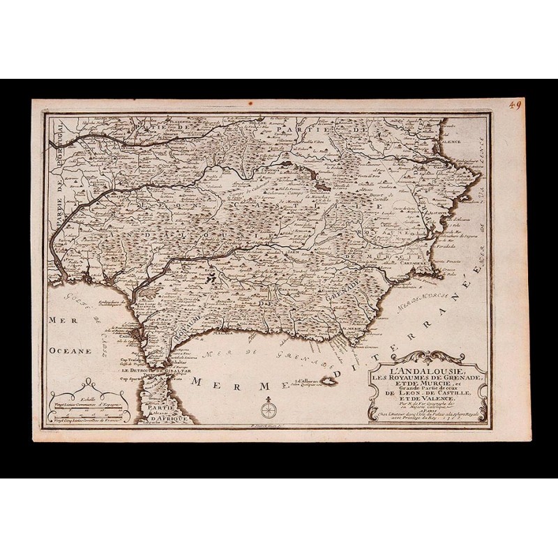
Detailed Map of Southern Spain by P. Starckman. France, 1705
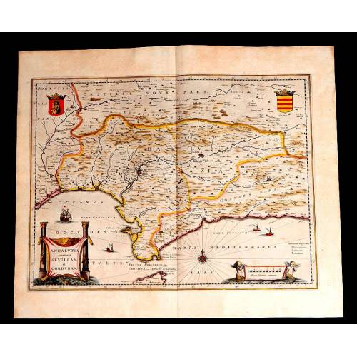
Precious map of the south of Spain made in 1705 by P. Starckman. In very good condition.
Sold!
Amazing antique map printed in black ink on white paper that depicts the South of Spain and a small part of the North of Africa. It is a great work of art by P. Starckman, made in France in 1705. The map is quite ancient but it is in surprisingly good condition, with no flaws or torn parts. The land is precisely reproduced in a very faithful way, with a detailed account of the villages, cities, rivers and mountains. The sketch is clear and elegant and in general this map is a very decorative and especial piece, a hundred per cent original. At the bottom margin, just in the center we can see an inscription with the words P. Starck-man scl. These words indicate that this map was made by P. Starckman, a French engraver and cartographer born in 1646 and died in 1720. Starckmans maps are characterized by their thoroughness and elegance, something that is well reflected in this particular work. The names, written in elegant cursive lettering; the organization of the space, and the delicate motives that symbolize mountains and other geographical features provide the map with a great beauty and turn it into a very special piece. In the bottom left corner we can see the scale and to the right we find one of the most attractive features of this engraving. We are talking about the cartouche containing the title and the description of what we can see in this map, written in French: Andalusia, the Kingdoms of Grenade and Murcia and a Great Part of Leon, Castile and Valencia. At the end of this text we can see the year of printing: 1705. The cartouche has a beautiful architectural-inspired border that separates it from the white background and makes it stand out: another fine detail of this striking map from the early 18th century. Any collector of antique maps will find a real jewel in this work by P. Starckman, as precise as decorative. Measurements: Paper: Width: 15.2 in/39 cm. Height: 10.5 in/27 cm. Engraving: Width: 13.9 in/35.7 cm. Height: 13.3 in/25.3 cm.

